Cloud GIS access
Shared, up-to-date maps that each community can open and use.
Services · First Nations GIS
WBAFN's GIS team gives our six member First Nations shared, cloud-based maps and data, so every community can plan, track and report with confidence.
Shared, up-to-date maps that each community can open and use.
Location data for roads, water, buildings and other community assets.
Maps and data that help communities plan infrastructure and meet reporting needs.
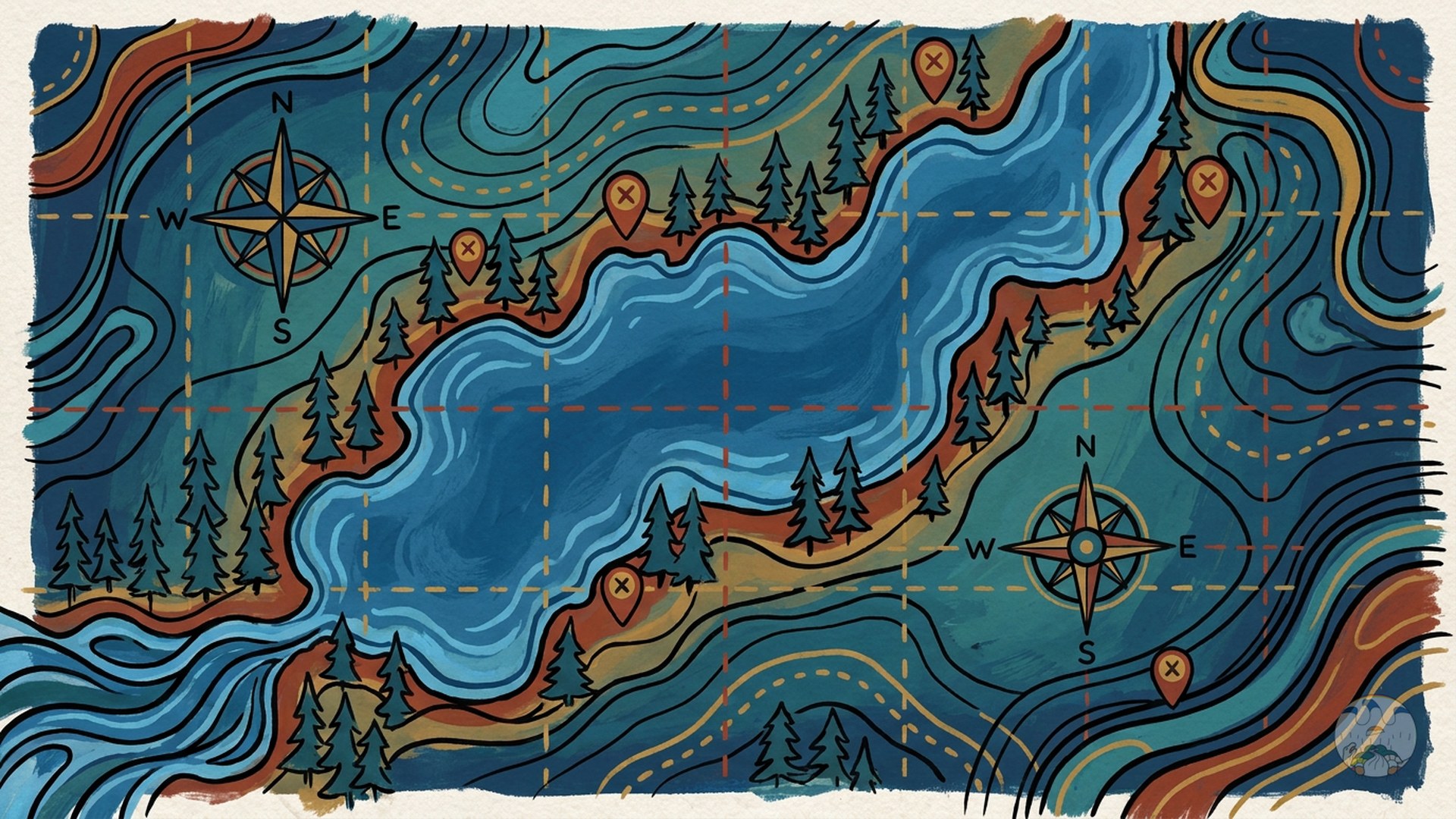
Our interactive story map shows how WBAFN's GIS work supports member communities. Use the full-screen button if the map is easier to explore in a larger window.
Open the story map in a new window →Meet our team
Infrastructure Asset Management Technologist / Asset Management Coordinator
Valerie is a member of Nipissing First Nation with a diverse background in the technical and community health field. Her work has taken her across Western Canada and overseas. When she returned to her home community in 2021, she was recruited into Asset Management and GIS. Since joining WBAFN, she has helped develop the tribal council's asset management data and software for each of the six communities, and she is building her GIS skills to help communities complete their asset management requirements.
Tell us about your mapping and asset management needs and our team will follow up.